9781915249258
9781914477393
Distributed for University of London Press
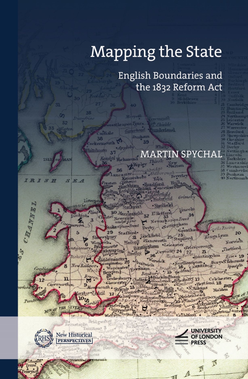
Mapping the State
English Boundaries and the 1832 Reform Act
A study of the 1832 Reform Act and its significance to the modern British state.
The 1832 Reform Act was a landmark moment in the development of modern British politics. By overhauling the country’s ancient representative system, the legislation reshaped constitutional arrangements at Westminster, reinvigorated political relationships between the center and the provinces, and established the political structures and precedents that both shaped and hindered Britain’s slow lurch towards democracy by 1928.
Mapping the State leads to a fundamental rethinking of the 1832 Reform Act by demonstrating how boundary reform and the reconstruction of England’s electoral map by the little-known 1831–1832 boundary commission underpinned this turning point in the development of the British political nation. Eschewing traditional approaches to the 1832 Reform Act, it draws from a significant new archival discovery—the working papers of the boundary commission—and a range of innovative quantitative techniques to provide a major reassessment of why and how the 1832 Reform Act passed, its impact on reformed politics both at Westminster and in the constituencies, and its significance to the expansion of the modern British state.
354 pages | 5 figures, 11 graphs, 10 maps and 34 tables | 6.42 x 9.65 | © 2024
History: British and Irish History
Table of Contents
Introduction
Part I Envisioning England’s reformed electoral map
1 A balancing Act? Interests and parliamentary reform, 1780-1832
2 ‘The most unpopular part of the bill throughout the country’: reintegrating boundaries into the story of reform
3 Towards a science of government: the ‘spirit of inquiry’ and the establishment of the 1831-2 boundary commission
4 Whipped by the beadles? Data-gathering for the boundary commission
Part II Redrawing England’s electoral map
Chronology and voting data
5 ‘The work we are engaged in is intended to last for a century’: redrawing England’s ancient electoral map
6 The Droitwich dilemma: interests, grouping and the multiple parish borough
7‘All the kindred interests of the town and neighbourhood’: new borough limits
8 Under the knife: reconstructing the county map
Conclusion

